
A sensible plan starts with the shape of the journey. A loop from Christchurch may take in the high country, lakes and alpine passes before heading west, while a southern route can focus on Dunedin, the Catlins, Te Anau and Fiordland. If you prefer a prepared framework, this nz south island road trip approach is useful for seeing how a self-guided itinerary can connect those regions. Treat any suggested schedule as a starting point, though. Your riding experience, luggage and interest in walks will determine whether a day feels relaxed or overfilled.
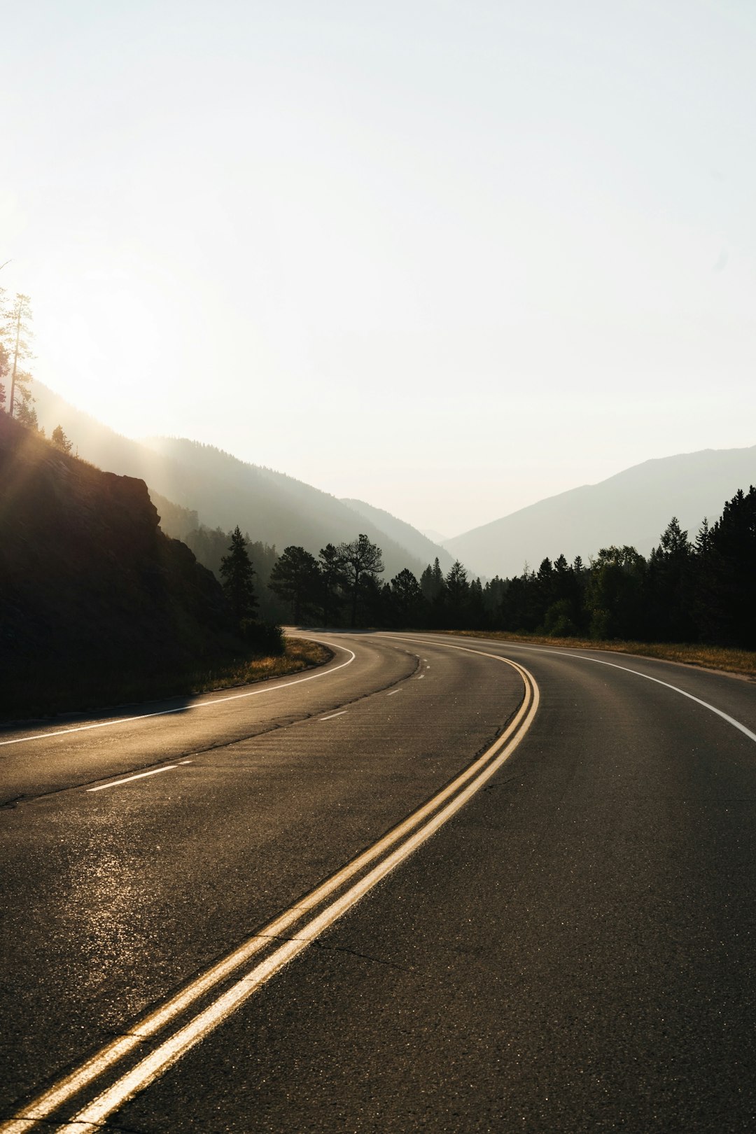
Road character matters more than many first-time visitors expect. New Zealand roads use the left-hand side, and a route that appears straightforward may include narrow sections, one-lane bridges, steep gradients and frequent corners. Cornering sight distance is the amount of road you can see before committing to a bend, so reduce speed when the view is blocked by trees, rock or a crest. Keep the bike stable, leave space from other vehicles and avoid planning a scenic stop immediately after a demanding section. A realistic day includes fuel, food, weather checks and time to reset your concentration.
Weather is another planning variable, not an inconvenience to be ignored. The Southern Alps can create very different conditions from the coast, while a bright morning near one lake may give way to cloud or rain over a pass. A microclimate is a small area with noticeably different weather from its surroundings, and South Island routes can cross several in one day. Elevation also affects temperature and wind, even during warmer months. Pack waterproof layers that can be reached without unpacking everything, and check forecasts for each region rather than relying on one reading for the whole island.
Fuel and accommodation are where an attractive itinerary often becomes impractical. Fuel range means the distance a motorcycle can cover before refuelling, and it changes with luggage, wind, speed and the bike itself. Do not assume a nearly empty tank will carry you to the next settlement simply because the map shows a road. In smaller places, opening hours and room availability can also be limited, especially at busy times. Riders following self-guided motorcycle tours can use the same principle: check the next reliable fuel point and book the nights that anchor the route.
Allow a spare day or at least a flexible overnight if the route includes Fiordland, the West Coast or several mountain crossings. Delays may come from rain, roadworks, a slow-moving vehicle or simply stopping more often than expected. This is where a contingency plan helps: decide in advance which section can be shortened without damaging the whole trip. For example, if a wet morning makes a long pass unattractive, you might spend more time around Wanaka and move the next leg forward later. Flexibility is easier when your bookings are not all prepaid and immovable.
The most enjoyable trips I see tend to have a clear daily purpose rather than a long list of pins. One day might be about reaching Te Anau early enough for a quiet lakeside evening; another might prioritise the road through the Catlins, with fewer scheduled stops and more time for viewpoints. Keep the final riding day modest if you need to return a motorcycle or catch transport. Check the bike before departure, carry practical layers and make decisions based on the road you actually have, not the perfect journey imagined when the map was still on a screen.